New photo monitoring tool tracks environmental change
"Chronolog" allows park visitors to use their cellphones to serve as community scientists
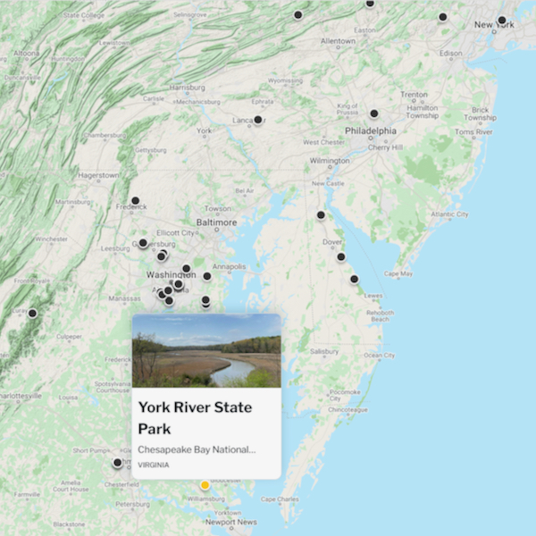
Have you ever gazed out across a Chesapeake Bay scene and wondered what it looked like in the past, or might look like in the future? Thanks to educators at the Virginia Institute of Marine Science, you can now do exactly that using a new photo monitoring tool at York River State Park between Williamsburg and Richmond.
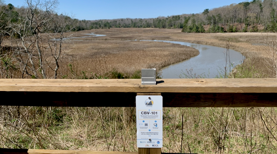
Sarah Nuss, education coordinator for the Chesapeake Bay National Estuarine Research Reserve in Virginia, led the effort to install a “Chronolog” at a popular vantage point within the 2,500-acre park. The physical Chronolog platform features a rigid bracket designed to hold cellphones so that sequential visitors to a particular locality can capture a consistent scene through their phone’s camera lens. Once shared with the chronolog.io website via email, software stitches the images into a time-lapse photo series that illustrates the changing environment—in this case, the changing landscape of Taskinas Creek and adjacent woodlands. The meandering, marsh-lined waterway, which lies within York River State Park, is one component of CBNERR-VA’s four-unit reserve site.
“We love the fact that the Chronolog system stitches all of the photos together for a time series automatically—both for us and the photographer,” says Nuss. “The photographer can see changes in the marsh over time immediately after submitting their own photo, while we can use the photos to monitor for vegetation change, sea-level rise, seasonal changes, and even invasive species.”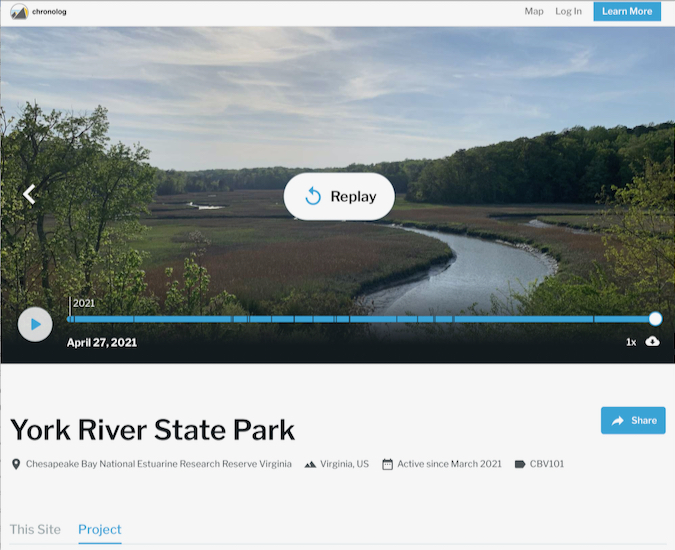
“Our hope is that park visitors will contribute to an ever-growing photo collection,” says Nuss. “We’d seen that several other NERRS sites are using this type of tool for research and monitoring purposes; now we can contribute to a robust collection of photos taken in estuaries all over the country.” Together with Taskinas Creek, CBNERR-VA’s other reserve components—Catlett Island, Goodwin Islands, and Sweet Hall Marsh—provide a pristine natural laboratory along the salinity gradient of the York River. CBNERR-VA is one of 29 coastal sites in NOAA's National Estuarine Research Reserve System (NERRS), a network designated to protect and study the vital ecosystems where salt and freshwaters mix—and the communities that depend on them.
Nuss and other CBNERR-VA staff are now considering installing Chronologs at some of their other protected sites, “even if it’s just to standardize photographs of our reserves when our own staff visit,” she says. Her team also hopes to propose placing one at the new Machicomoco State Park in Gloucester County, which lies on the shore of the York River opposite its eponymous state park.
CBNERR-VA’s Taskinas Creek Chronolog—designated as CBV-101—joins similar units at 173 other sites across the U.S., as well as in Canada and the United Kingdom. To access time-lapse footage from the York River State Park Chronolog, visit https://www.chronolog.io and either click on the appropriate icon or filter by project "Chesapeake Bay National Estuarine Research Reserve Virginia."