Check Tidal Flooding Near You
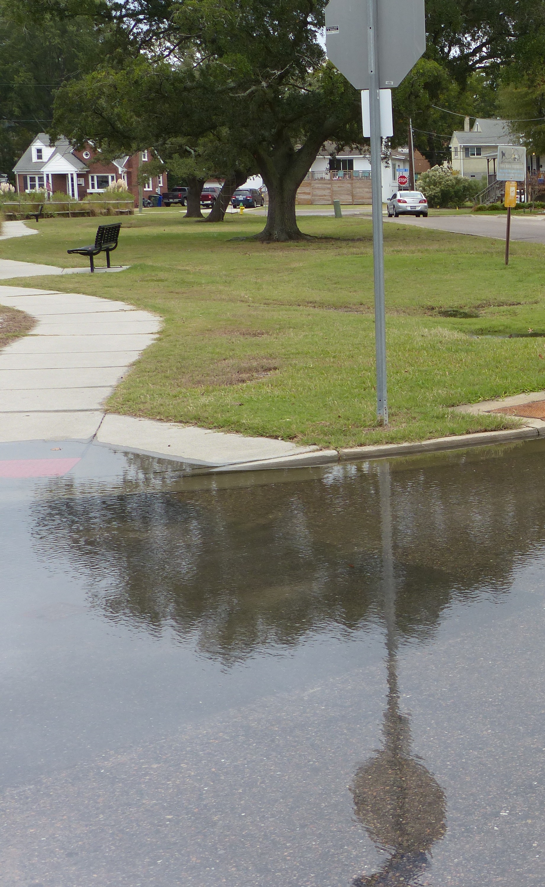 When a storm is approaching water-level forecasts shift with the tides by the hour. This Tidewatch tool makes it easier to visualize and time impacts to roads, properties, and structures over the next 36 hours based on current tidal, weather and storm-surge conditions.
Find out what tidal flooding will look like in the next 36 hours:
See step-by-step instructions (pdf with pictures) or the summary directions below.
- Open Tidewatch Map (this will take a minute to load)
- Put your address in the white box at the top left of the map.
- Click the arrows on the time slide bar to see forecasted water levels either 6am to 6pm the following day OR 6pm to 6am the day after tomorrow.
- Click anywhere on the map to open a chart with two lines: water elevation over the next 36 hours and the land elevation at that location.
Additional information about VIMS Tidewatch can be found here.