Does the Property Currently Flood?
Flood frequency is displayed in this tool as the number of hours of flooding (over the past 19 years) based on tide gauge data - capturing areas of regular tidal flooding (floods daily), high tide flooding (floods occasionally) and storm surge flooding (floods a few hours per year).
See the summary directions below or for more help these step-by-step instructions (pdf with pictures):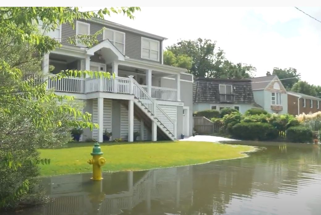
- Go to Locality Road Flood Tool
- At the top of the page click on your area of interest (for example Middle Peninsula).
- Zoom into your area of interest.
- On the menu on the left, click the eye next to “Flooding Duration Maps” to display the layer.
- Click the arrow next to “Flooding Duration Maps” to open the options. Make sure the eye next to “Current Flooding Duration:2020” is open, and the other 2 options have slashes through the eyes. The different colors indicate different flooding frequencies, with darker colors meaning more time underwater each year. The light blue color covers areas that only flood during a larger storm events. The medium and dark blue colors show areas that flood more frequently during unusually high tides.