Check Road Access Near You
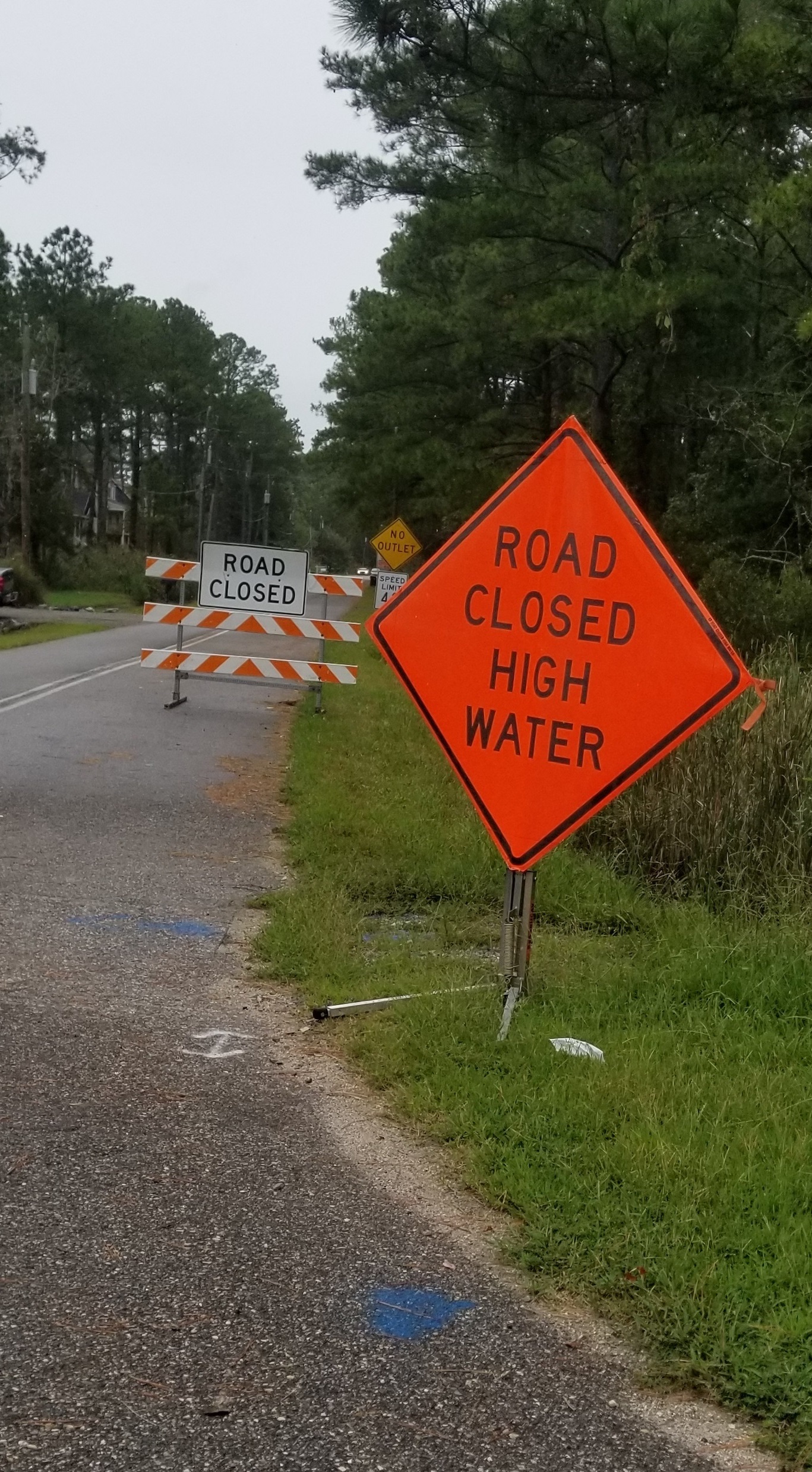 This Locality Road Flood Tool shows how flood frequency will impact travel to a particular road from the County Seat under different flood levels. Find out if some portion of your road network will be flooded. (This tool was built to be used on a desktop computer, it will not work correctly on a cell-phone)
See the summary directions below, or for more help step-by-step instructions (pdf with pictures):
- Go to Locality Road Flood Tool
- At the top of the page click on your area (for example Middle Peninsula).
- Zoom into your area of interest.
- If the road is pink, that tells you that some part of the road goes underwater whenever there is 2-3 feet of flooding. If the road is yellow, orange or red, it only floods during more extreme flood events.