Ditches
Using a similar GIS methodology to bank heights, ditch footprints and ditch depths have been delineated using lidar data. It is possible to identify both roadside and agricultural ditches. This information is valuable for numerous issues, including water quality and flooding problems. In 2017, the Virginia State Legislature, HB1774 directed the Commonwealth Center for Recurrent Flooding Resiliency to identify ditches in coastal rural localities, and attempt to quantify their volume to accommodate rain and floodwaters in preparation for future events similar to 2016 Hurricane Matthew. The CCRM lent their aid in this endeavor. The process of extracting ditches from aerial lidar elevation surveys can be complicated by the characteristic canopied roadways Virginia is known for.
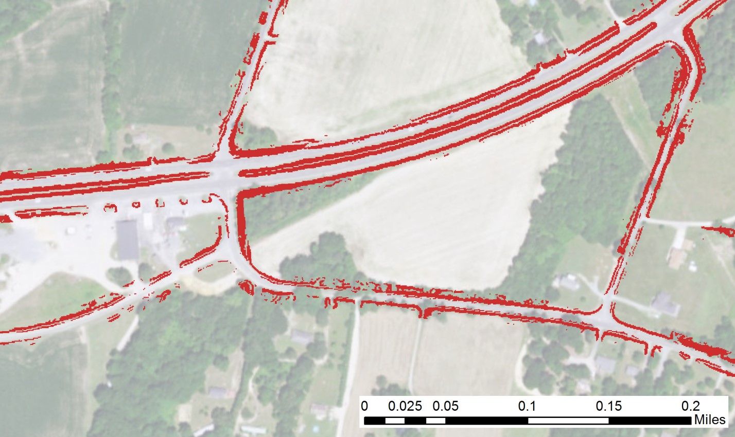
The red areas in the imagery represent roadside ditches extracted from lidar data.