Bank Heights
A GIS methodology has been developed to estimate bank heights from lidar data to enhance the Shoreline Inventory dataset and support the Shoreline Management Model. Bank heights also are useful for many ongoing applied research projects. For example, accurate bank heights combined with shoreline erosion rates enable calculations of sediment inputs from bank erosion. This information contributes to our understanding of sediment budgets and water quality issues.
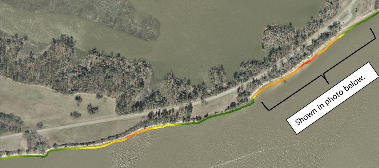
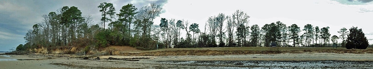
Areas in orange and red indicate higher banks (>20 ft) while areas in green are lower (<10 ft).