Sea Nettles Blog Content
What is a sea nettle?
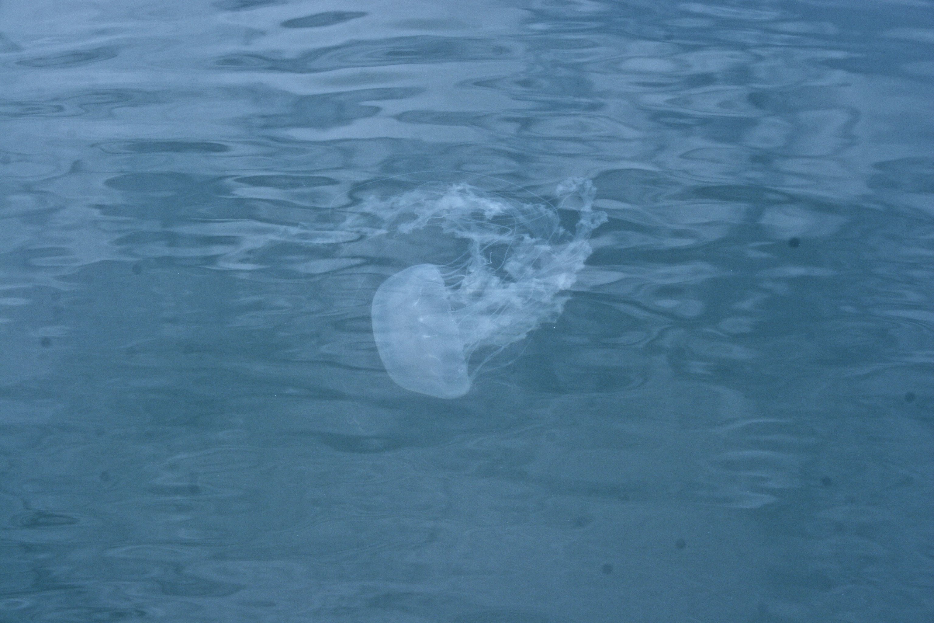
 A sea nettle is a type of marine jellyfish belonging to the genus Chrysaora. The bay nettle (Chrysaora chesapeakei) is the sea nettle most commonly seen in the Chesapeake Bay and most often responsible for stings, especially during the summer.
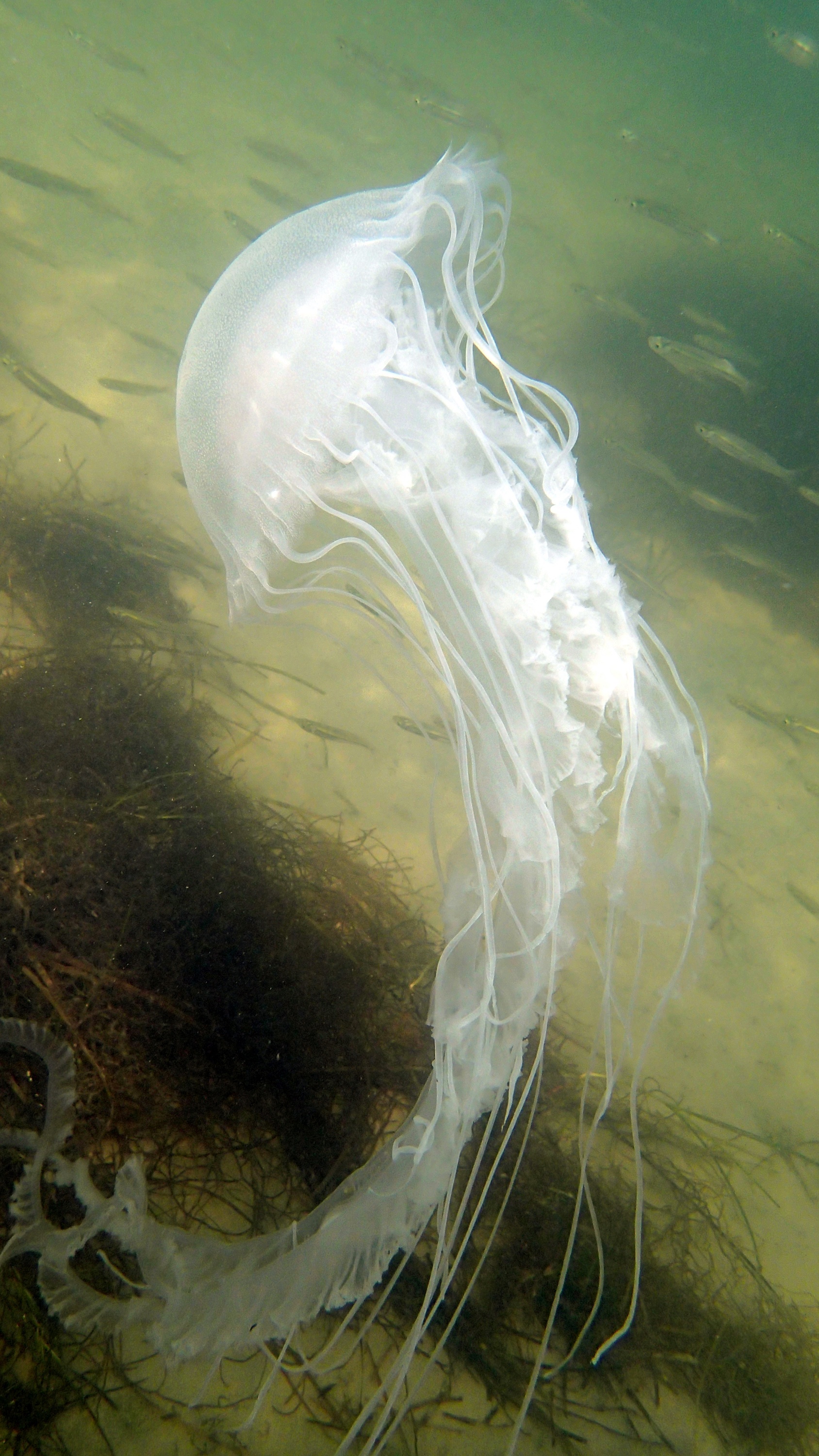
This jellyfish has milky-white bells, sometimes tinged with reddish-maroon markings and trails as many as 24 tentacles that can stretch several feet. Those tentacles carry microscopic nematocysts that can deliver a painful sting if touched.
Sea nettles are most abundant in the brackish tributaries of the middle Bay and typically appear from May to October. Until 2017, scientists thought bay nettles were the same species as the Atlantic sea nettle (Chrysaora quinquecirrha), but genetic and physical differences revealed they were a distinct species.
The science behind the sea nettles forecast
The forecast estimates the probability of encountering jellyfish by relating salinity and water temperature to historical observations of sea nettles.
“The Sea Nettle Forecasts should be used similar to how one would use a weather forecast,” said Aaron Bever, a Senior Environmental Scientist with FlowWest and former VIMS student and post-doc.
“If there is a 90% chance of rain, it is likely going to rain, although it might just miss us. If there is a 10% chance of rain, it is very unlikely to rain, but it could. Similar for the chance of encountering sea nettles. If the percent chance of encounter is high, the likelihood of sea nettles being present is higher, but not guaranteed.”
How to read the jellyfish maps
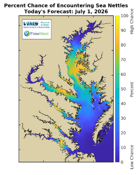
When you open the Sea Nettle Forecast, you will see a series of color-coded maps of the Chesapeake Bay and its major tributaries, with shading to indicate the prospect of a jellyfish encounter. Warmer colors (yellow, orange) signify higher-probability areas; cooler colors (blue, purple) indicate lower-probability areas.
The forecasts extend beyond today’s conditions so you can plan ahead, with a forecast for tomorrow as well as a five-day outlook, along with charts showing the trend of jellyfish encounter probability over the past year.
Q&A
Where do jellyfish most often show up in the Chesapeake Bay?
Sea nettles thrive within a fairly narrow set of conditions. They turn up most often where salinity is around 13.5 parts per thousand and the water is warm. As conditions move away from that sweet spot and into fresher or saltier water and cooler temperatures, the chance of encountering jellyfish drops.
What are the forecast’s applications beyond warning beachgoers?
Quite a few. The CBEFS team notes that the same Sea Nettle Forecasts can guide decisions about intake water where jellyfish are a concern, such as power plants where sea nettles can clog their systems or commercial fishers setting nets where too many jellyfish could foul the gear.
What’s next for the Sea Nettle Forecast and CBEFS?
CBEFS continues to expand as a research and decision-making tool for the Bay community, from anglers and aquaculture growers to coastal managers and the public.
The Sea Nettle Forecast and the rest of CBEFS are now part of the new Center of Excellence in Environmental Forecasting (CEEF), managed by the Batten School of Coastal & Marine Sciences & VIMS and backed by $1.6 million in federal funding and more than $800,000 from the state of Virginia.
The center’s mission is to turn the Batten School & VIMS’ long-term datasets and modeling expertise into more user-friendly, public-facing tools. In practice, that means making the Sea Nettle Forecast along with the rest of CBEFS and the institution’s other forecasting tools easier for the public to find, use and act on.
“The sea nettle forecast is exactly the kind of tool we hope to build through CBEFS and the Center of Excellence in Environmental Forecasting,” said Marjy Friedrichs, professor at William & Mary’s Batten School & VIMS. “It takes complex observations and models and turns them into information that people can use, whether they are planning a day on the water, supporting fisheries, guiding local decisions, or tracking the health of the Bay.”


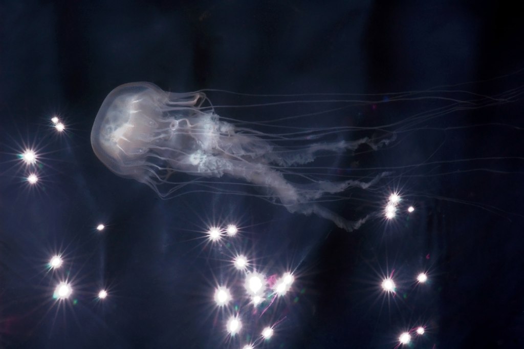 Want to know how likely you will be to encounter jellyfish on your next trip to the Chesapeake Bay? William & Mary’s Batten School & VIMS has a forecast for that!