Observation & Segmentation
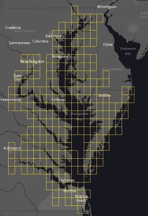
SAV Quad Maps
VIMS reports seagrass coverage within 259 7.5-minute quad maps along the shoreline of Chesapeake Bay and its tributaries, and Virginia's Eastern Shore.
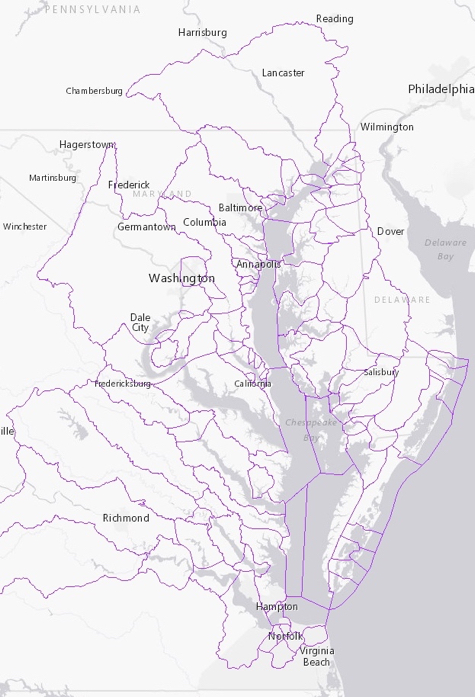
CBP Segments
VIMS and the Chesapeake Bay Program use 93 segments to collect, analyze, and present data.
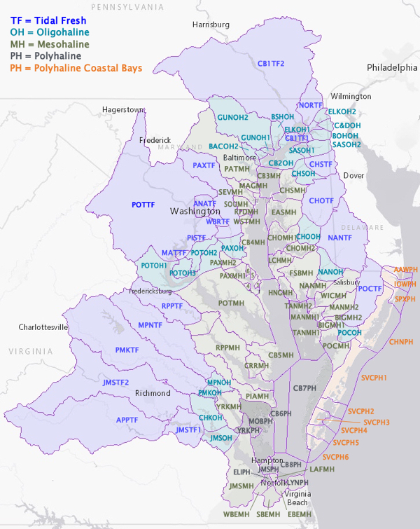
Salinity Zones
In 2013, the Chesapeake Bay Program began to categorize bay grass data using 4 salinity zones.