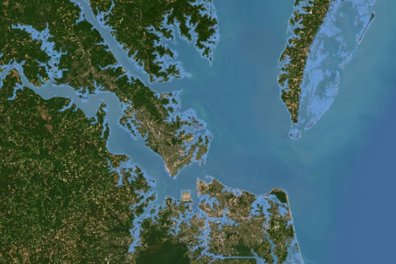
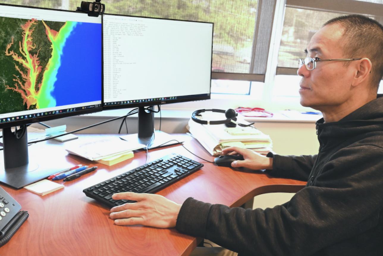
Center of Excellence in Environmental Forecasting

An aerial picture of Cedar Island.

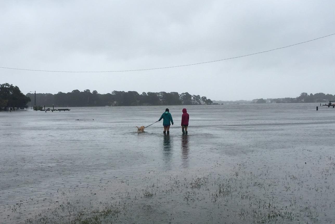
Supported by state and federal funds, the world-class environmental forecasting center at the Batten School & VIMS leverages our scientific expertise and data resources to deliver tools that support the safety, livelihoods, and recreation of communities in coastal Virginia and beyond.

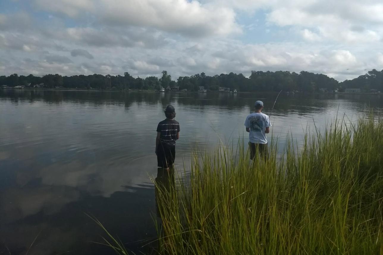
From tracking storms and tides to planning for sea-level rise or finding the best places to fish in the Bay, our forecasting tools help you see what’s coming—today and in the future.

Explore Forecasting Tools

A screenshot of Tidewatch Map showing coastal Virginia.

Tidewatch

Our Tidewatch system provides a 36-hour forecast that allows you to keep track of the tides and the potential for coastal flooding from storms and other events. Tidewatch Map© provides an interactive experience that visualizes tides and potential flooding in your area, while Tidewatch Charts provides simplified graphs related to Bay and coastal water-level stations throughout the region.

Storm surge flooding in Norfolk, Virginia during tropical storm Hermine in September, 2016. Photo by Derek Loftis.

Sea-Level Report Cards

Want to know how sea level in your area has changed over time and what the future might hold? Our Sea Level Report Cards make it easy to explore past, present and projected sea-level trends. Updated annually and available through an interactive dashboard, the cards display data from tide gauges at 36 coastal locations across the U.S., with projections through 2050. Select a locality to view the latest rise rates, acceleration graphs and projections for your region.

Sea-Level Report Card Buttons

Two young men standing knee deep in coastal waters fishing

Chesapeake Bay Environmental Forecast System

The Chesapeake Bay Environmental Forecast System (CBEFS) provides daily, science-based forecasts of water conditions throughout the Bay and its tributaries. Using advanced computer models, CBEFS simulates temperature, salinity, oxygen, acidity and other key environmental factors that shape marine habitats. These forecasts help anglers, boaters, shellfish farmers and resource managers understand changing Bay conditions. Use CBEFS to track things such as low-oxygen “dead zones”, harmful algal blooms, the presence of jellyfish, shifts in water clarity and temperature patterns and more.

Dr. Joseph Zheng with the Center for Coastal Resources Management at the Batten School & VIMS views a SCHISM simulation on his computer that shows different colors on a map of the Chesapeake Bay..

SCHISM

SCHISM (Semi-implicit Cross-scale Hydroscience Integrated System Model) is an open-source modeling system developed at the Batten School & VIMS and used by researchers and resource managers worldwide. Built on flexible unstructured grids, SCHISM seamlessly simulates 3D water circulation across scales, from creeks and estuaries to the open ocean. Its applications range from storm-surge and flooding prediction to water quality, sediment transport, coastal ecology, and oil spill. It has been selected by the EPA's Chesapeake Bay Program as the next-generation model for Bay restoration efforts, and by NOAA as a core model for their operational ocean forecasts via a MOU signed in 2020 and renewed in 2025.