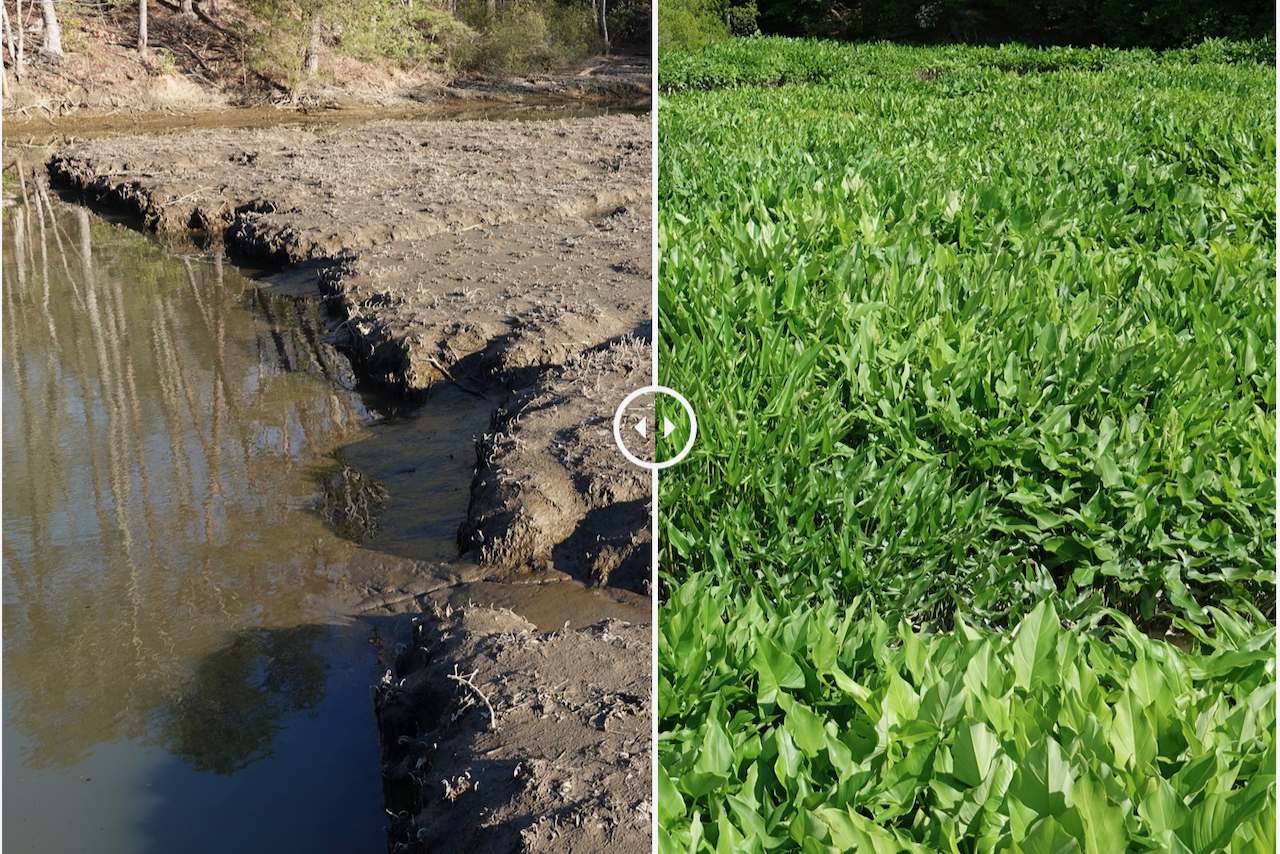
Before & After Images
In a time of significant change, "before and after" photos can provide an engaging and powerful means to showcase alterations in habitats, organisms, data, human development, and other natural and human phenomena.
Choose an example from the page menu or view the highlighted photo pairs below to learn more.
Winter Storm Saturn: Before and after images show the difference in water level on a tributary of the York River during the passage of Winter Storm Saturn on March 6, 2013.
Hurricane Sandy: Before and after images show the difference in water level at the Virginia Institute of Marine Science's Eastern Shore Laboratory in Wachapreague during the passage of Hurricane Sandy in 2012.
Gloucester Point: Before and after aerial images show land-use changes and a notable increase in impervious surfaces in Gloucester Point, Virginia between 1937 and 2011.
SAV: Before and after images from the Seagrass Monitoring and Restoration Program at VIMS show significant differences in year-to-year seagrass coverage in Chesapeake Bay.
Hurricane Isabel: These before and during images from 2003 show coastal inundation at Hog Island on Virginia's Eastern Shore due to the passage of Hurricane Isabel on September 18 of that year.