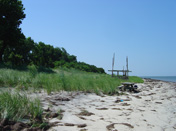
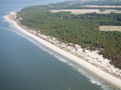
Chesapeake Bay Dunes
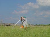
A dune often begins when wind blown sand from the beach is trapped by "wrack" (pieces of water born debris, often dead vegetation). A dune dimple forms close to the high water line on the wrack and accumulates wind blown sand allowing plants to colonize and grow, eventually forming a dunelet. Over time the area where the dunelets form becomes a foredune and eventually a primary dune will evolve.
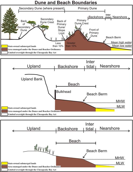
No ones know how many of the beaches and dunes along Chesapeake Bay have been lost due to lack of management. Throughout the years, beach and dune sand has been removed from the overall system by natural and manmade causes. In addition, many secondary dunes have been impacted by development as well. Secondary dunes, dune fields, and sandy scrub areas may receive some management oversight through the Chesapeake Bay Preservation Act; however, this varies by locality and leaves many secondary shore zones open to exploitation.
 |
The map below shows the distribution of dunes along Chesapeake Bay and its tributaries. The map includes dune sites identified in 13 coastal localities. The original research was performed in the early 2000s, and the data has not been updated since. Some of these sites may no longer exist and other dune sites may have developed over time naturally or man-made. To view and browse the Dune Sites, please click on the map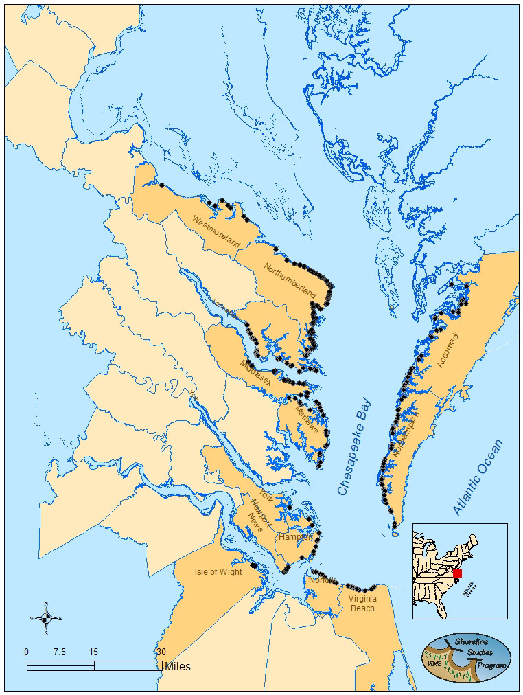 |
|
 |
||
 |
||
 |
||
 |
These projects were funded by the Virginia Coastal Zone Management Program through grants from the National Oceanic and Atmospheric Administration, Office of Ocean and Coastal Resource Management, under the Coastal Zone Management Act of 1972, as amended.