SAV Predictions
HOW WILL CLIMATE CHANGE AND NUTRIENT MANAGEMENT AFFECT THE FUTURE OF CHESAPEAKE BAY SEAGRASSES AND AQUATIC PLANTS
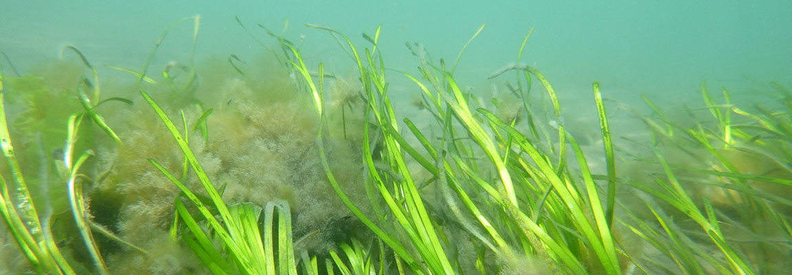
Seagrasses and aquatic plants are important coastal habitats for marine animals and for humans, but climate change and nutrient pollution together threaten the futures of these valuable ecosystems. In many estuaries, rooted aquatic plants- often referred to as submersed aquatic vegetation or “SAV”- provide nursery grounds for thousands of fish, shrimp, and crabs, soak up excess carbon dioxide, stabilize sediments to improve water clarity, and reduce coastal erosion. Over the last several decades, rising temperatures, increasing storminess, and pollution run-off together have caused significant changes to submersed aquatic vegetation ecosystems that include both total collapse and shifts in the dominant species. Thus, to prepare for an increasingly unprecedented future, we must begin to predict the responses of valuable shorelines to rapidly changing environments.
In the Chesapeake Bay, the 17 different species of seagrasses and aquatic plants that cover tens of thousands of acres of shallow coastline have diverse adaptations and life histories that create different responses to climate and pollution-based stressors. Over the last 30 years, we have experienced large-scale die-back of eelgrass (Zostera marina) from frequent marine heatwaves but also have observed record-setting recoveries after regional nutrient reductions fueled regrowth from widgeongrass (Ruppia maritima) and a diverse community of freshwater plants. In this project, we leverage decades of data on past changes in Chesapeake Bay environmental conditions and submersed aquatic vegetation, build future possible scenarios of how climate change and nutrient management will change environmental conditions through 2060, and predict how each of the major communities of submersed aquatic vegetation will grow, decline, shift, and change into the future.
In this web-based application, we show the results from our novel predictive modelling technique across every hectare of vegetated Chesapeake shallow water habitat to predict future responses of each community to anticipated conditions. We examined how each community changes in 8000 simulated futures that vary in climate change effects and nutrient management effects from 2020-2060.
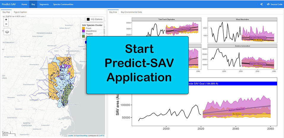
Enter our application to visualize our major findings where we find that, while temperature extremes will exacerbate shifts in dominant species identity, expanded nutrient reductions have a critical role in mitigating the risks of climate change for sustained cover of Chesapeake Bay submersed aquatic vegetation. In fact, further reductions in both nitrogen and phosphorus generates the only future with temporal stability for all seagrass communities. Most importantly, nutrient reductions specifically support further large-scale expansion of the dominant, climate-tolerant plants in the mid- and upper-bay (i.e., widgeongrass monocultures and freshwater communities) to fuel total Chesapeake vegetated area.
How did we build our predictions?To build a mechanistic understanding of the past in order to predict how climate change and human activities will affect dominant SAV habitat into the next 40 years, we utilize the Chesapeake Bay’s unique long-term, large-scale data sources. We first use aerial survey and ground observation data to identify and map the dominant communities of SAV throughout the Bay. Then, we combine nearly 40 years of Bay-wide aerial survey and water quality data to quantify the major climate (e.g., temperature) and human (e.g., total nitrogen) controls on each community, using structural equation modelling to describe how different seasonal variables have controlled annual cover in each community across the Bay to date. Next, we combine the projected effects of climate change (i.e., temperature rise, precipitation fluctuations) and human activities (i.e., nutrient input management) to create scenarios that depict the future landscape of environmental conditions across the Bay using climate modelling projections from 2021-2060. Scenarios incorporate predicted temperature rise and precipitation variability associated with climate change, and include a “Nutrient Reduction” scenario that incorporates further reductions in nitrogen and phosphorus levels throughout the Bay. Finally, we implement a novel predictive modelling technique across every hectare of vegetated Chesapeake shallow water habitat to predict future responses of each community to anticipated conditions. We use linear mixed effects models from the past with our future environmental landscape to predict changes in cover of submersed aquatic vegetation. This website contains our interactive tool that allows managers, scientists, and citizens to visualize how climate change and management scenarios will influence local rivers, basins, and communities throughout the Chesapeake Bay. |
Where did we get our data?Aerial surveys and ground observations of past SAV cover change from 1984-2020 [link] Past environmental change in water quality from 1984-2020 [link?] Future climate and nutrient scenarios from 2021-2060 [link??] |
What are our future scenarios?We built 4 scenarios to understand how Chesapeake Bay SAV may change into the future:
[insert graphs that show temperature, TN/TP for future under each scenario??] |