Pleistocene Sea-Level Change
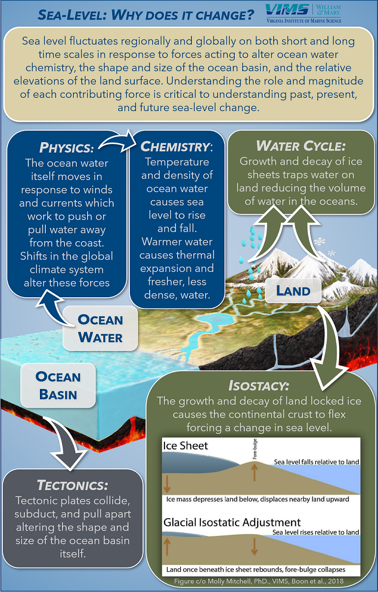
Today, rising sea-levels are threatening coastal communities and ecosystems globally, but the rate and magnitude of sea-level rise vary over time and space due to the many forces which control sea-level. On geologic time scales, the primary control on sea-level is recurrent land-based ice sheets which directly remove water from the oceans (globally ubiquitous) and cause vertical land movement (spatially varying) through glacial isostatic adjustment (GIA). Today, ongoing GIA processes from the last glacial maximum (21,000 years ago) are still responsible for sea-level fall in the far northern US and Canadian Atlantic coast, leading to higher rates of sea-level rise along the US mid-Atlantic coast. Recent research has focused on quantifying the remaining potential elevation- and rate of- change due to GIA processes but have been unable to do so largely due to a lack of studies correlating sea-level change in the past with global ice sheet growth. This project focuses on reconstructing regional sea-level through field observations.
PLUS! Be sure to check out this very cool StoryMap created by our own Selwyn Heminway (W&M '23), based on her study of seismic data from the backbarriers of the Virginia Barrier Islands (collected by colleague Dr. Mike Fenster of Randolph-Macon College): Story of the Eastern Shore
Current Studies
Geologic mapping and depositional models: Virginia Eastern Shore
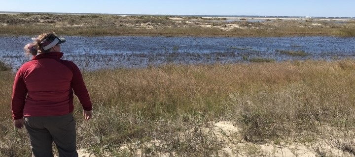
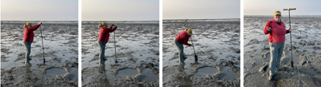
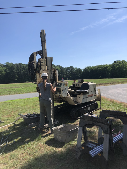 Overview: The Delmarva Peninsula extends south from the Delaware Bay to the mouth of the Chesapeake Bay, forming its eastern boundary. This feature was formed over the late-Pleistocene (120,000 – 11,500 years ago) as a series of elongate spits, paleo-Susquehanna River sediment deposits, and seaside barrier island complexes during subsequent sea-level cycles. These sedimentary units hold within them a record of GIA induced processes through multiple phases of sea-level rise, highstand, and fall. This project uses field observations to 1) create a surficial geologic map of a portion of the southern Delmarva Peninsula and its antecedent surface and 2) develop a high-resolution depositional model of the seaside deposits.
Regional Pleistocene sea-level reconstructions
Funding: National Science Foundation Marine Geology & Geophysics; EDMAP (United States Geological Survey); Geological Society of America Graduate Student Research Grant
Publications
Please feel free to contact us for pdf copies of any of the following publications. Note: * - Coastal Geology Lab student author
*Cahoon, K.M., Hein, C.J., Fenster, M.S., Huot, S., 2026. Refined Late-Pleistocene Evolutionary and Sea-Level History for the Delmarva Peninsula, US Mid-Atlantic Coast, Marine Geology, v. 495, p. 107736. doi: 10.1016/j.margeo.2026.107736.
*Cahoon, K.M., Hein, C.J., Fenster, M., *Clarke, C., Ramsey, K.W., 2025. Updated stratigraphic mapping reveals insights into the late Pleistocene evolutionary history of the Virginia Eastern Shore, US Mid-Atlantic Coast, Stratigraphy, v. 22(2), p. 99–134.
Wehmiller, J.F., Brothers, L.L., Ramsey, K.W., Foster, D.S., Mattheus, C.R., Hein, C.J., *Shawler, J.L., 2021. Molluscan aminostratigraphy of the US Mid-Atlantic Quaternary coastal system: Implications for onshore-offshore correlation, paleochannel and barrier island evolution, and local late Quaternary sea-level history, Quaternary Geochronology, v. 66, p.101177, doi: 10.1016/j.quageo.2021.101177.
Abstracts & Presentations
Feel free to contact us for pdf copies of any of the following abstracts or their associated presentations or posters. Note: * - student author
*Cahoon, K., *Clarke, C.G., Fenster, M.S., Vaughn, J.P., Hein, C.J., 2021. Coastal highstand deposits archive Late-Pleistocene regional sea-level variability along the US Mid-Atlantic coast, AGU Fall Meeting, New Orleans, LA, December 2021.
*Cahoon, K., *Clarke, C.G., Fenster, M.S., Vaughn, J.P., Hein, C.J., 2021. Coastal highstand deposits archive Late-Pleistocene regional sea-level variability along the US Mid-Atlantic coast, Paleo Constraints on Sea-Level Rise/Solid Earth Response and Influence on Cryospheric Evolution conference (virtual), September 2021.