

Catch the King celebrates a decade of community science, helping Virginia communities prepare for coastal flooding
Volunteers collected more than 25,000 flood observations during the 10th annual event, adding to a growing archive that improves flood forecasts and informs coastal resilience
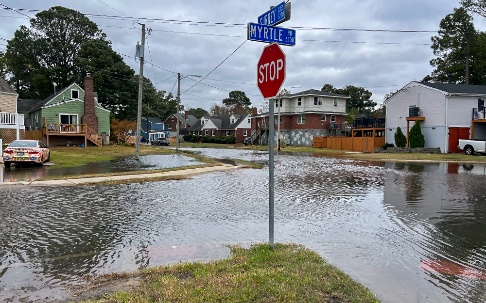
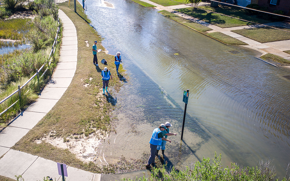 The 10th annual Catch the King event recently brought together volunteers from across coastal Virginia to document some of the year's highest astronomical tides, referred to as “king tides.” The observations collected by these community scientists continued a decade-long effort that is helping researchers improve flood predictions and communities prepare for rising seas.
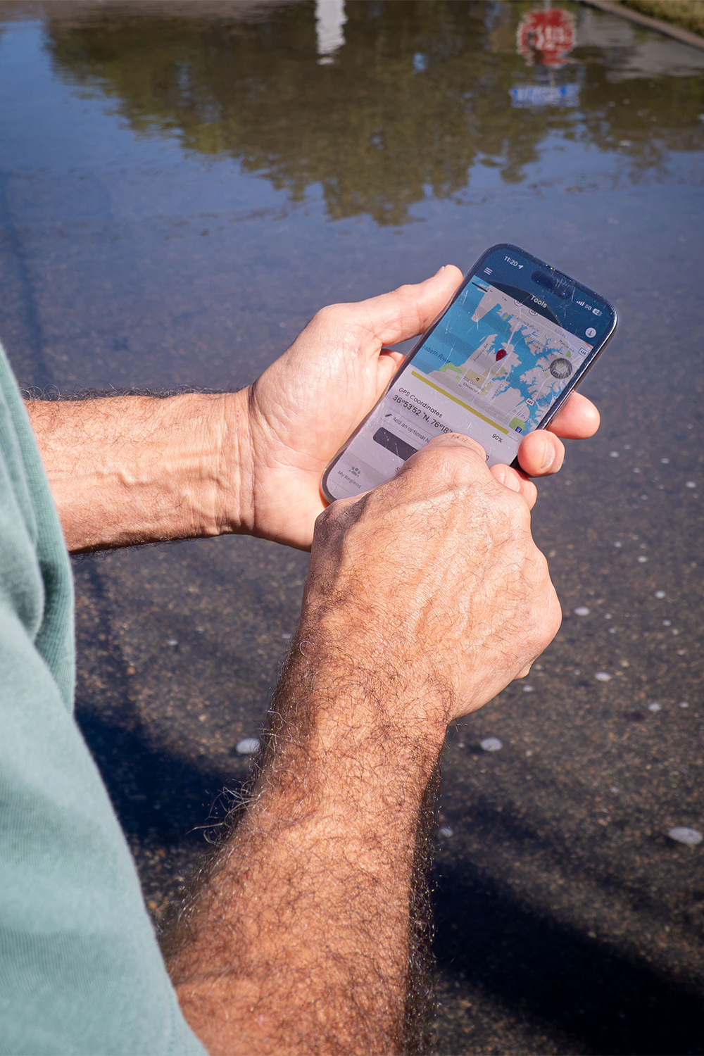
During the rainy weekend of October 9-11, 184 volunteers recorded more than 25,000 GPS observations of tidal flooding and captured 464 photographs using the Sea Level Rise mobile app. Those observations brought the project's cumulative total to 282,399 data points, which researchers at William & Mary's Virginia Institute of Marine Science use to evaluate and refine coastal flood forecasting models.
 “We’re keeping our finger on the pulse of what’s happening, and that's the beauty of mapping year over year,” said Derek Loftis, assistant professor at VIMS & the Batten School of Coastal & Marine Sciences and a co-founder of Catch the King.
The event is organized through collaboration between the Center for Coastal Resources Management (CCRM) at VIMS, Wetlands Watch, a nonprofit dedicated to protecting wetlands in order to reduce flood risk, safeguard habitats and strengthen communities throughout Virginia, and Old Dominion University.
Stephanie Letourneau M.A. ’25, the Wetlands Watch coordinator for Catch the King, emphasized the importance of participatory science.
“I don't need to convince volunteers that this work is important, because many of them are living in the landscape and can personally see that sea levels are changing and impacting daily life,” she said. “Participants are dedicated stewards of their local communities looking to make an impact, and Catch the King provides that opportunity.”
Over the weekend, volunteers walk along the boundaries of floodwaters and record GPS coordinates that researchers can then compare against predictions generated by VIMS' Tidewatch flood forecasting system. Discrepancies help identify inaccuracies in the models, improving their ability to predict where flooding will occur.
A decade of Catch the King observations can be explored on the project’s public composite data map, including the new 2026 data, and residents interested in mapping next year’s king tide can sign up through Wetlands Watch.
 Making a difference for Virginia communities
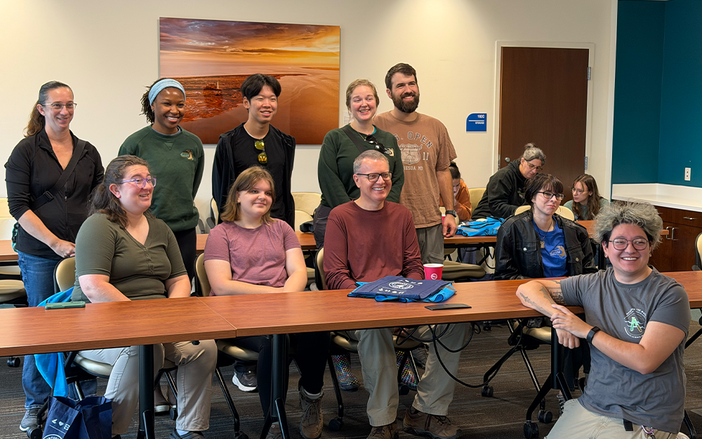
The geospatial analysis conducted by Loftis proposed roughly 110 public access sites from which volunteers could safely gather data in 2026, and regional volunteer coordinators, known as “Tide Captains,” helped train and direct mappers in each part of coastal Virginia. This year, volunteers helped address gaps in the project's geographic coverage by collecting observations in six of 43 previously unmapped zones.
The benefits of Catch the King extend beyond forecasting. Loftis described recent observations in Norfolk's Larchmont and Edgewater neighborhoods, where newly constructed flood barrier berms along the Lafayette River, built to an elevation of 4 feet (NAVD88), have prevented tidal flooding in areas that consistently experienced major disruptions during previous years.
“It was thrilling to see there was no flooding anywhere for these communities that have been frequently beleaguered by tidal flooding," said Loftis. He noted that the berms have prevented more than a dozen tidal flooding events since last year’s king tide. “And each time that’s freed up nearly 100 spaces of street-level parking and spared those cars from saltwater damage.”
Catch the King observations help Loftis and his colleagues in CCRM update their models to reflect changes to the landscape, which then allows researchers and city planners alike to evaluate the effectiveness of such resilience investments. Earlier this year, Loftis presented the Norfolk berm performance data to the Hampton Roads Planning District Commission’s Coastal Resiliency Working Group and the Hampton Roads Adaptation Forum.
 A decade of collaboration and community science
Catch the King was founded in 2017 through a collaboration involving Loftis, former Wetlands Watch Executive Director Skip Stiles and former Virginian-Pilot reporter Dave Mayfield. The initiative originally mobilized 722 volunteers to collect nearly 60,000 observations, earning a Guinness World Record for environmental surveying. Ten years later, the effort continues through partnerships among researchers, nonprofit organizations, media outlets and local communities.
Genevieve Guerry, flood risk project staff member at Wetlands Watch, emphasized the extensive preparation required to coordinate the annual event. “These highest of high tides might only happen a couple times a year,” she said, “but we work year-round to engage and train the public and our partners, which are now also outside of Virginia because other states are starting to catch the king as well.”
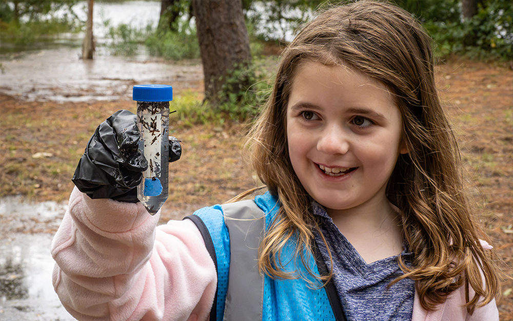
The event also features Measure the Muck, a complementary initiative led by Old Dominion University that engages volunteers in collecting floodwater samples to study nutrients, bacteria and other contaminants found in floodwaters.
Bella Wendt, an ODU geology student, said that experiencing Catch the King and Measure the Muck made scientific research feel more accessible. “I think it's really good to contribute to science, even if you're just a regular person, because it helps our environment,” she said.
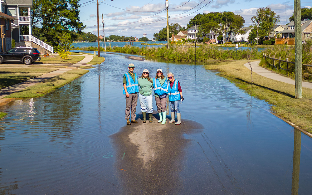
 Deanna Orr, conservation and ambassador animal manager at the Virginia Living Museum, helped bring approximately a dozen volunteers to the event. While collecting samples, her group observed residents fishing and a child playing near floodwaters that could potentially contain contaminants.
"It was really interesting to see people near the water and in the water, when we know there could be fecal matter or other contaminants,” she said. “That just speaks to why we need to do this work, so we can know what is in floodwaters and then help communicate that to the public.”
Worthwhile science has a promising future
Ultimately, Orr said the experience was fulfilling for the museum volunteers. “The training was great; we knew exactly what we were doing. And it doesn’t take a full day, just a couple of hours, but you’re accomplishing something that helps our entire region. We’d love to participate again next year,” she said.
Guerry agreed that giving residents a sense of connection and purpose is an intended outcome of Catch the King. “The best part about community science is that it clarifies your own perspective about where you live, how the environment is connected to you and your health, and how you can make a difference. And it’s not just educational; these data points actually get used and you really are helping to improve those forecasting models.”
 Looking ahead, Loftis said he hopes to expand Catch the King into neighboring states, including Maryland and North Carolina. “We gathered some out-of-state data last year, as well as in our inaugural year, so I’d be eager to see and compare how places outside Virginia also track over time,” he said. “We’re also hoping to incorporate new GPS technology, higher-precision satellite positioning, to improve the accuracy of volunteer observations. That would be really valuable in rural communities, places like Virginia's Middle Peninsula and Northern Neck, that have historically been harder to monitor.”
Ten years of volunteer data is now also helping decide where permanent instruments go. This year, the Mid-Atlantic Regional Association Coastal Ocean Observing System (MARACOOS) became a community sponsor of Catch the King. Researchers use past Catch the King observations to confirm that new water level sensors are placed near areas that flood frequently, including in Mathews County on the Middle Peninsula, where six new sensors are scheduled for deployment in November. These new sensors will then be used to provide forecasts through VIMS’ Tidewatch and StormSense platforms.
As Catch the King enters its second decade, researchers hope to continue to inspire participants while filling in the gaps of geographic coverage and improving flood forecasting models. In doing so, this community science initiative will help both scientists and the public better understand how coastal flooding may impact coastal communities.
“It’s going to be really exciting to see what Catch the King looks like in the next ten years,” said Loftis.