Virginia Shoreline & Tidal Marsh Inventory
The Virginia Shoreline and Tidal Marsh Inventory is a series of reports that describe the condition of tidal shorelines for individual localities in the Commonwealth of Virginia. This inventory series started with historic reports produced in the 1970’s. It also includes contemporary digital inventory updates generated from 1998 to the present using a combination of Geographic Information Systems (GIS), Global Positioning System (GPS), and remote sensing technology.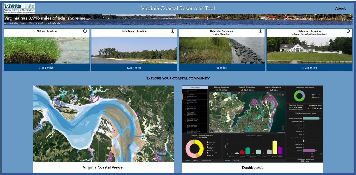
Virginia Coastal Resources Tool provides visualization of shoreline and tidal marsh inventory data and statistics
Data Request Form – download GIS data for the entire Virginia Shoreline Inventory (218MB .zip) - includes Virginia Tidal Marsh Inventory
Locality Portals
Clicking on a locality below will take you to a portal with links to shoreline and tidal marsh inventory reports, summary tables and GIS data for downloading.
- Accomack County
- City of Alexandria
- Arlington County
- Caroline County
- Charles City County
- City of Chesapeake
- Chesterfield County
- City of Colonial Heights
- Essex County & Town of Tappahannock
- Fairfax County
- City of Fredericksburg
- Gloucester County
- City of Hampton
- Hanover County
- Henrico County
- City of Hopewell
- Isle of Wight County
- James City County
- King & Queen County
- King George County
- King William County
- Lancaster County
- Mathews County
- Middlesex County
- New Kent County
- City of Newport News
- Northampton County
- Northumberland County
- City of Norfolk
- City of Petersburg
- City of Poquoson
- City of Portsmouth
- Prince George County
- Prince William County
- City of Richmond
- Richmond County
- Spotsylvania County
- Stafford County
- City of Suffolk
- Surry County
- City of Virginia Beach
- Town of West Point
- Westmoreland County
- City of Williamsburg
- York County