Study Methods

HUMAN SYSTEM:
Goal: Identify decision factors influencing both property owners and the policy/management personnel governing shoreline property owners.
Approach: We used multiple approaches to assess why people decide to modify their shoreline and the type of shoreline modification they choose:
- Surveyed current property owners to determine the factors that impacted their decisions as well as other groups to assess their level of influence and role in property owner decisions, including local Wetlands Boards, state Tidal Wetland Regulators (VMRC), local NGOs, and marine contractors.
- Examined historic patterns of shoreline modification decisions using wetlands permit data combined with cadastral and environmental data to assess the primary factors driving decisions on different shoreline modifications (i.e., armor, living shoreline, or do nothing).
- Evaluated shore and marsh protection laws from Florida to Delaware for commonalities and variation in the characteristics of the law that drive trends in shoreline modification.
NATURAL SYSTEM:
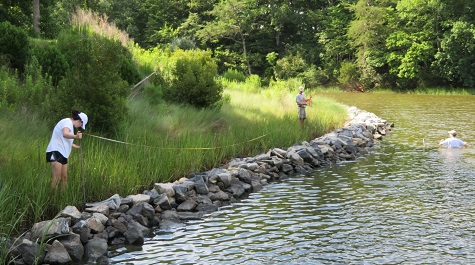
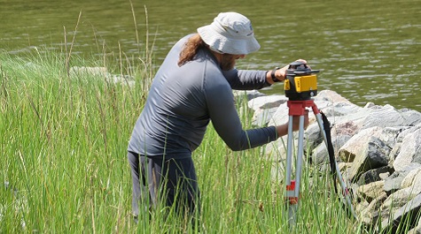
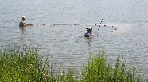
Goal: Determine the environmental consequence of changes in Bay shorescapes through a series of field investigations describing the ecological functions provided by natural fringing marsh shorelines and those provided by living shorelines marshes.
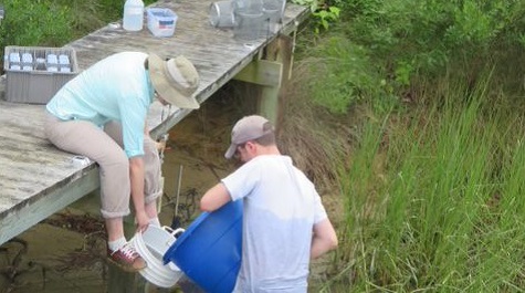
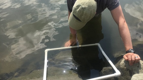
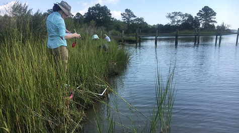
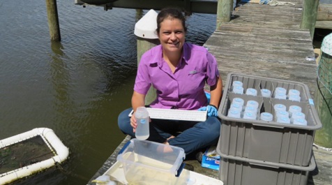
Approach: We evaluated the differences in proxies of ecosystem functions related to marsh ecosystem services for the following:
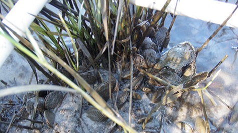
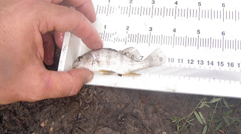
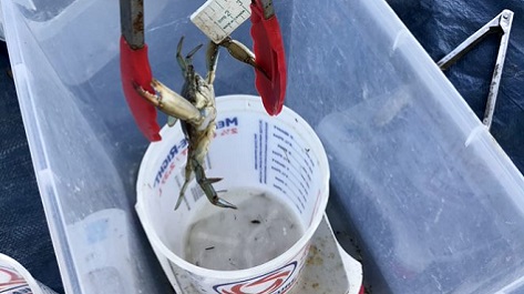
- Habitat provision (invertebrate, fish, bird, terrapin; abundance, biomass, diversity)
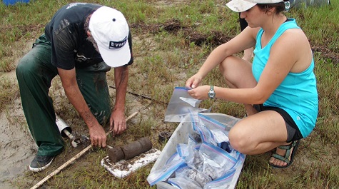
- Primary production (aboveground plant biomass) and nutrient storage (aboveground plant and soil total N, P content)
- Carbon storage (aboveground plant and soil carbon content) for both natural marshes and a chronosequence (2 to 16 years from construction) of living shorelines, within shorescapes representing the continuum of marsh connectivity conditions
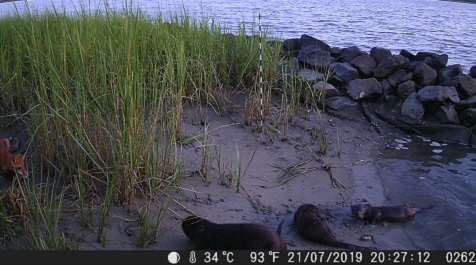
TIDE CAMERAS: Cameras were set up to video for about 2 weeks at each site to document the amount of time the marsh was inundated with the tides. With the ebb and flow of the water, marsh animals move in and out and around the marsh. As the waters rise, snails climb Spartina plants, crabs move into burrows, fish and terrapin enter the marsh to forage and for refuge. As the waters ebb, snails move down the plants to the marsh mud, fish swim into the shallows, crabs come out to feed, birds forage, and terrapin bask.
{{youtube:medium|nG_xGPJER0I, A living shoreline marsh on the Lafayette River, Virginia}}
{{youtube:medium|_0Qk66Jwcwc, Time-lapse video of Cedar Bush Creek Marsh}}
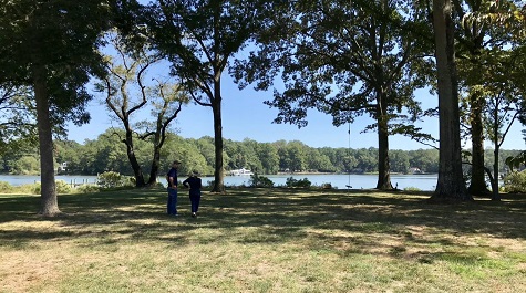
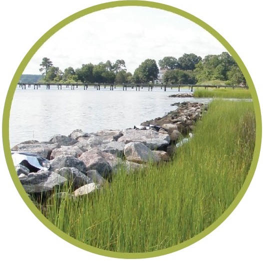
SHORESCAPES: a shoreline zone which includes riparian, intertidal, and littoral areas, are ideal areas to investigate linkages between human and natural components of the ecosystem because they are significant and critical points of intense socio-ecological interactions, and climate change.