

Nature-Based Solutions
Natural & Nature-Based Features (NNBFs)
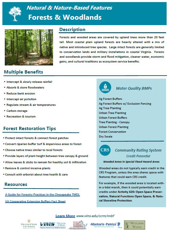
Coastal forests, wetlands, beaches, and living shorelines provide multiple benefits for coastal communities, including storm protection, soaking up floodwaters, improving water quality, providing recreation areas and maintaining important habitats. Protected and restored natural features can also reduce the cost of flood insurance.
- Natural Features evolve over time through processes operating in nature
- Nature-Based Features are created by human design, engineering and construction for specific services such as coastal hazard risk reduction
Multiple Benefits
 |
Flood risk reduction for coastal buildings — Natural features intercept and reduce the energy of rainfall, storm surge and tidal flooding. Floodwaters are stored and slowly released by trees and wetlands. |
 |
Flood insurance — Protecting and restoring natural features can earn credits for reduced insurance premiums through the National Flood Insurance Program's Community Rating System. |
 |
Water quality improvement — Forests, trees, and wetlands effectively filter air pollution and remove excess nitrogen and phosphorus, and also capture sediment in stormwater runoff and tidal floodwaters. |
 |
Floodplain restoration — Natural floodplains store floodwaters, filter pollution, and provide habitat. Floodplain restoration reestablishes a more natural hydrologic regime that connects wetlands, waterways and adjacent land. |
Coastal Virginia NNBF Fact Sheets (pdf)
Pursuing natural and nature-based features not only benefits the environment and your community, but can also be beneficial for meeting requirements connected to government programs like achieving a regulatory goal and reducing costs.
 |
Each fact sheet provides really useful information on each of these features:
|
Natural Features
|
||||||||||||||
Nature-Based Features: Hybrid Living Shorelines
|


NNBF Related Maps
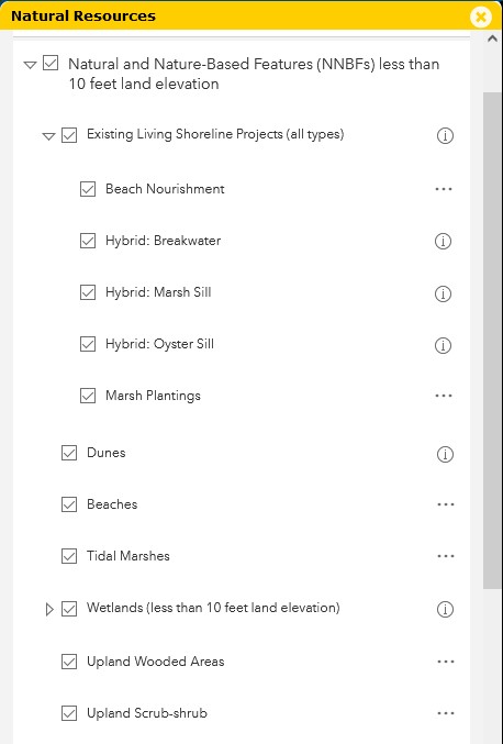
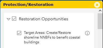
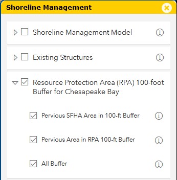
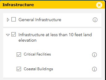
View natural and nature-based features in the AdaptVA Interactive Map. See how to find these NNBFs and other related map layers under each main category in the map viewer here. Additional information about each map layer can be found in the interactive map:
Natural Resources
 |
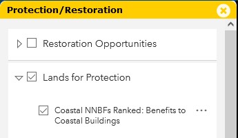
Protection/Restoration Opportunities
 |
Shoreline Management
 |
Infrastructure
 |
Coastal Locality Resilience Summaries
Localities need supporting information to keep the public engaged with coastal resilience measures and programs. The relationships between natural features and coastal buildings most vulnerable to tidal flooding can be described with simple summary statistics.
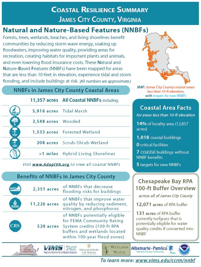 |
A summary for each coastal Virginia locality highlights:
|
Locality Summary Reports* Incorporated towns are included in the closest City or County summary. Contact us if you cannot locate information for your coastal locality.
|
NNBF Data Downloads
GIS data related to natural and nature-based features is available for downloading. See more information about each dataset in the data abstracts: