

Meteorological Monitoring
York River Meteorological Monitoring
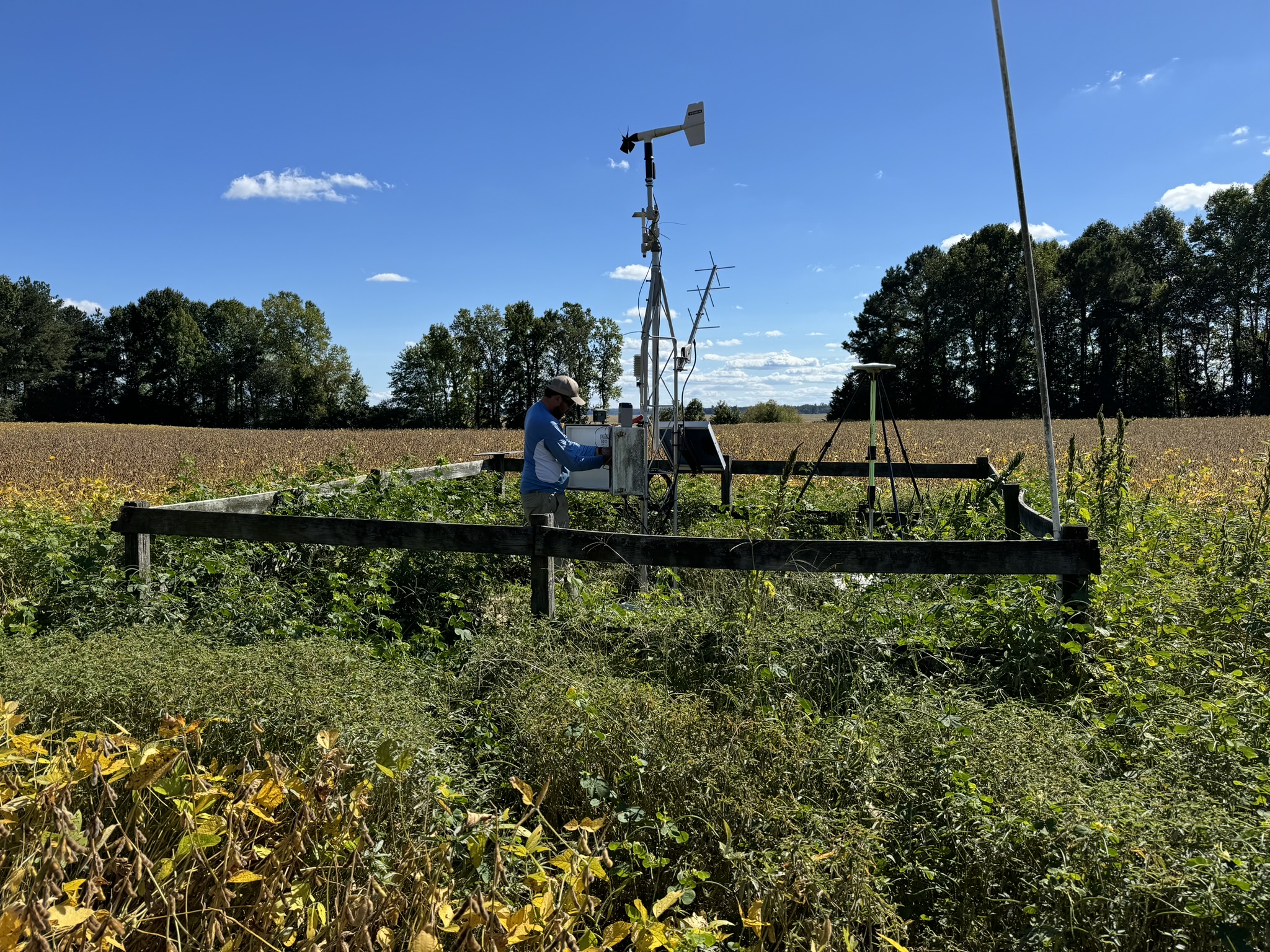
As weather conditions have a strong influence on water quality conditions in estuaries, meteorological data compliment the reserve’s water quality data and serve as an important component of the reserve’s System Wide Monitoring Program (SWMP). The reserve maintains meteorological monitoring stations at the Taskinas Creek (August 1997) and Sweet Hall Marsh (established September 1998) components of the Reserve. Measured parameters include air temperature, relative humidity, precipitation, photosynthetic active radiation (PAR), barometric pressure, wind speed/direction. Real-time delivery of meteorological data is available through NOAA's Hydrometeorological Automated Data System (https://hads.ncep.noaa.gov/) and the quality controlled data for Taskinas Creek can be downloaded through the National Estuarine Research Reserve System's Central Data Management Office (CDMO).
Listing of Stations:
Station: Taskinas Creek (CBNERR-VA)
- Location: James City County, VA. 37.414N 76.713W
- Station IDs: NESDIS – 3B009218; NWS – YRSV2
- Established: 1997
- Status: Operational
- Measured Physical Parameters: Air temperature, relative humidity, precipitation, wind speed and direction, barometric pressure and photosynthetic active radiation (PAR).
- Measured Chemical Parameters: None
- Realtime Data Access
- Archive Data Access
- Location: King William County, VA. 37.569N 76.889W
- Station IDs: NESDIS – 3B0116F6; NWS – SHXV2
- Established: 1998
- Status: Operational
- Measured Physical Parameters: Air temperature, relative humidity, precipitation, wind speed and direction, barometric pressure and photosynthetic active radiation (PAR).
- Measured Chemical Parameters: None
- Realtime Data Access
- Archive Data Access: currently not available