2.3 Survey Design: Coverage of the Spatial Footprint of Interest
2.4 Link to Field Data Collection Procedure
The desired end point of an assessment survey is to provide defensible quantitative estimates, on a river and/or region-specific basis, of
(1) demographics of the live population by size class (as traditionally used in fishery management),
(2) age class (as desired by both fishery management and restoration activity), and
(3) status of the underlying shell substrate (reef) structure. All three are then addressed in the context of the long-term data sets extending backward in time.
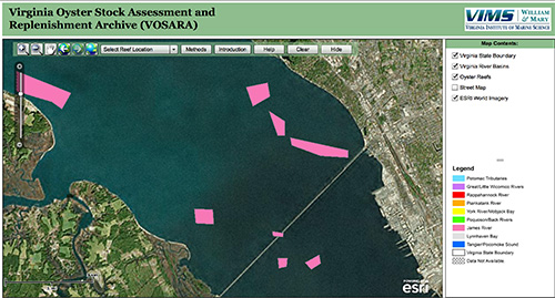 The patent tong oyster stock assessment survey began in fall 1993 for a subset of the current locations, with serial improvements being made in field methods and expansion of the survey footprint through 1998. The footprint continues to expand to this day as additional restoration sites are added. Methodological changes to include the discrimination of shell substrate types and greater fidelity in demographic descriptions have also been made. Methods have been described in peer publications by Mann et al. (2009), Southworth et al. (2010) and Harding et al. (2010). A detailed description with historical notes, based on Mann et al. (2009) follows. The surveyed areas are based on prior designations of public oyster grounds (Baylor Ground after Baylor 1896
The described approach has both strengths and weaknesses. All surveys where the distribution of target species within a boundary is unknown are a compromise of time invested in mapping to determine sampling on the one hand, versus time and resources on the other. The current Virginia survey attempts to cover 180 distinct sampling areas covering approximately 8,900 acres in one calendar month with a vessel and crew that can sample 80 to 100 individual sites per day with a hydraulic patent tong under optimal weather conditions. Twenty calendar days in the field provides for approximately 1650 sites, or approximately one site (one sq. meter) every 5.2 acres (21,000 m2). It is clearly impractical to attempt a detailed mapping at scales finer than that provided by Haven and colleagues for the vast area at hand (notably Haven and field crew spent 4 years in the field producing their most recent generation maps, and the distance between their transect swaths was still of an order greater than certain reef footprints). Thus the employment of the above-described approach. Retrospectively, the option exists to cumulatively add data by annual increments to the database describing the resource within each area (=strata) and re-stratify within the boundaries based on the distribution of both oysters and shell substrate. This requires care in that re-stratification redirects the limited resources (1650 samples upper limit) with gains