June 14, 2018 – Shoreline Best Practice Case Studies: What Nature-Based Shorelines Look Like & How They Work
Handouts
Presentations
Case Study Reviews
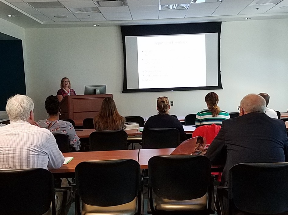
- Workshop Objectives & Logistics – Karen Duhring, VIMS Center for Coastal Resources Management
- Living Shoreline Ecology – Molly Mitchell, VIMS Center for Coastal Resources Management
- Residential-Scale Case Studies: Examples from River Star Homes – Barbara Gavin, Elizabeth River Project
- Urban Estuary Restoration: Large Scale & Co-Located Projects with Multiple Benefits – Joe Rieger, Elizabeth River Project
- Nature-Based Features for Coastal Resilience: Quantifying Wave Dissipation – Maura Boswell. P.E., Old Dominion University
- Shoreline Management BMP Verification for Chesapeake Bay TMDL Credits – Aaron Wendt, DCR Shoreline Erosion Advisory Service (SEAS)
Shoreline Program Updates
- 2018 Legislative Update – Pam Mason, VIMS Center for Coastal Resources Management
- Other Shoreline Program Updates – Karen Duhring, VIMS Center for Coastal Resources Management
Concurrent Indoor & Outdoor Experiences
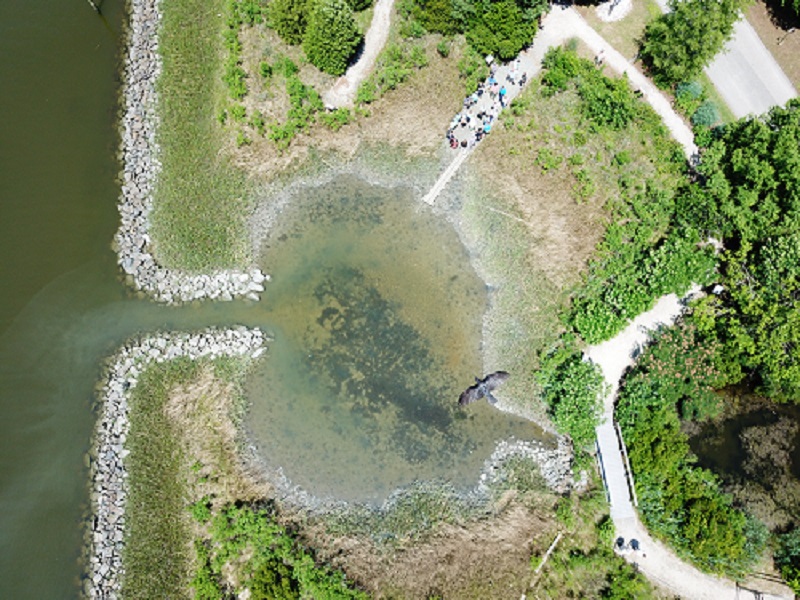
VIMS Offshore Breakwaters and Beach Nourishment Case Study
Bruce Pfirrmann DCR-SEAS & [[v|milligan,Donna Milligan]], VIMS Shoreline Studies Program
This case study also illustrated how a historically armored (bulkhead) shoreline was converted to a nature-based feature & how submerged aquatic vegetation (SAV) can affect project designs. Living Shorelines: Beaches & Dunes Story Map |
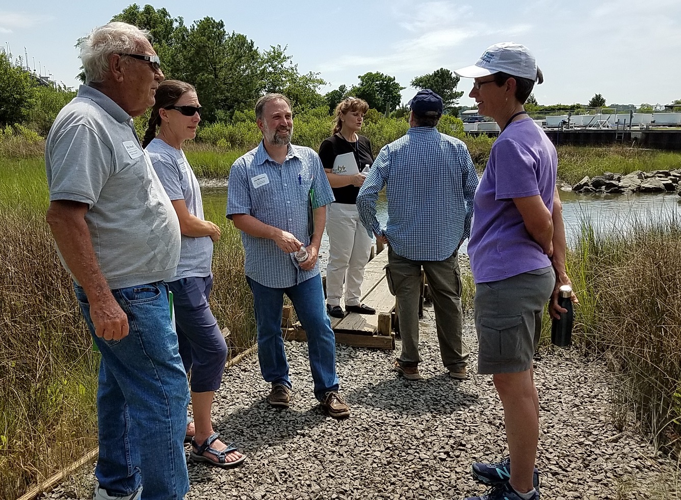
VIMS Teaching Marsh Case Study[[v|christine,Christine Tombleson]] & [[v|julieb,Julie Bradshaw]], VIMS-CCRM
Living Shorelines: Marshes & Oysters Story Map |
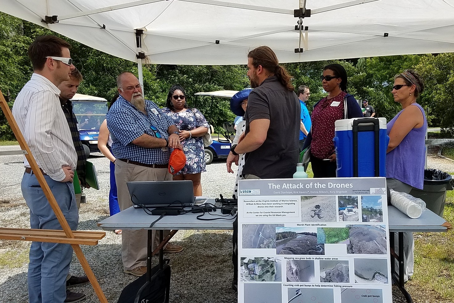
Drone Demonstration[[v|kory,Kory Angstadt]], VIMS-CCRM How a Mavic Pro drone is being used for CCRM shoreline and wetlands research was demonstrated, including the steps required to create a flight plan, capture still and video images, collect elevation data, and the process of converting all of the collected images and data into meaningful analyses. |
Hands-On Shoreline Management Tools[[v|molly,Molly Mitchell]] & [[v|tamia,Tamia Rudnicky]], VIMS-CCRM This station provided an opportunity to learn about and practice using GIS mapping tools at individual computer stations. After a short introduction to various tools, CCRM staff provided guidance and answered questions while users practiced using the tools. Scenarios – to direct you to the right tool (pdf) Available Tools (pdf) |
Wetlands Board e-Handbook
[[v|mason,Pamela Mason]], VIMS-CCRM & Clay Bernick, Clay Bernick Environment & Sustainability, LLC
|
The Center for Coastal Resources Management focuses our shoreline management technical guidance on proposed living shoreline projects. The Center continues to provide site visits and detailed advice on living shorelines. Applicants can contact [[v|christine,Christine Tombleson]] / 804-684-7912 for more information.


 Preferred features in living shoreline tidal marshes were demonstrated at the Teaching Marsh, including:


