

Shoreline & Tidal Marsh Inventory
CCRM is a recognized global leader in the science and technology of shoreline and tidal marsh inventories. Over decades of conducting inventories in the Chesapeake Bay region, we have developed several advanced data collection and analysis techniques. Our work is informing the management and protection of shoreline areas and tidal marshes throughout the Chesapeake Bay.
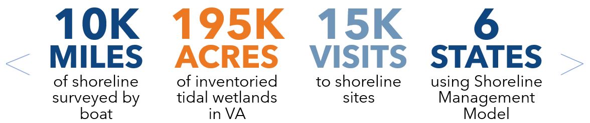
By the Numbers
We have achieved multiple milestones in our shoreline and tidal marsh inventory work. The metrics below help communicate the depth and scope of our work.
What is an Inventory?
Shoreline inventories are maps of features along shorelines that can be observed and categorized from aerial photograph interpretation, field observations, and other available data. Tidal Marsh Inventories are included with Shoreline Inventories. These wetland inventories map the locations and dominant plant communities observed in tidal marshes.
Other shoreline conditions captured by these inventories include:
- Natural shoreline features like riparian forests, wetlands and beaches
- Shore protection structures like living shorelines, revetments, bulkheads, and offshore breakwaters
- Water access structures like docks, boathouses, boat ramps and marinas
- Bank height from available topography
- Bank slope from available topography
Regional Shoreline & Tidal Marsh Inventories
Completed inventories include maps, reports and GIS data for downloading. Details about the methods used are provided in the reports and metadata for each shoreline inventory
Learn More about the history of the Shoreline & Tidal Marsh Inventory program
MapMyShore
MapMyShore is a community-powered app that enables the community to help map and report new and existing tidal shoreline features. By contributing to this effort, the community plays a key role in maintaining and updating Virginia’s Shoreline and Tidal Marsh Inventory, ensuring this valuable resource is up to date for everyone.
Shoreline Management Model SMM
A Shoreline Management Model is available for Virginia and other coastal states. This geospatial model recommends erosion control strategies for tidal shorelines based on the Shoreline & Tidal Marsh Inventory. Available shoreline information is processed through decision flow charts to reach stabilization recommendations. The results are displayed on interactive maps.