Campuses
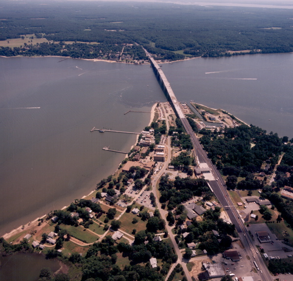
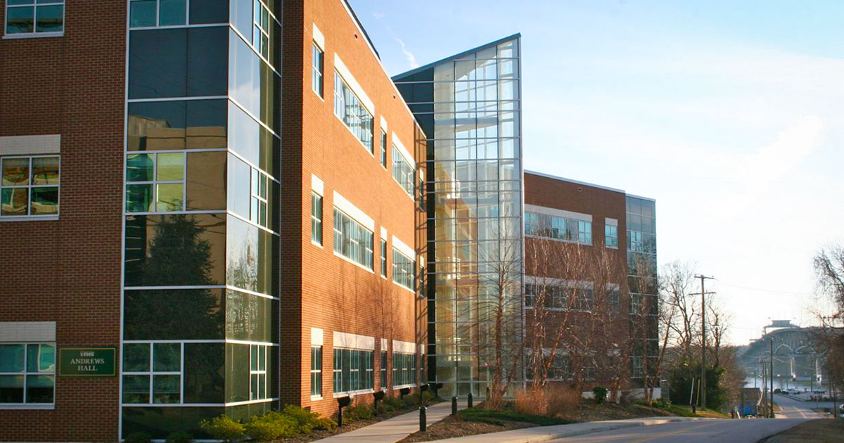
The 42-acre main campus of the Virginia Institute of Marine Science lies in Gloucester Point, Virginia, at the mouth of the York River, a major tributary and passageway to Chesapeake Bay and the Atlantic Ocean. VIMS lies 13 miles southeast of the William & Mary campus in Williamsburg. Campus coordinates are 37.25° N, 76.50° W.
 VIMS also has two satellite campuses. Our Eastern Shore Laboratory (ESL), in the seaside village of Wachapreague, serves as a field station for research, teaching, and advisory activities, with easy access to the barrier islands, salt marshes, and lagoons of Virginia’s Atlantic shore. ESL coordinates are 37.61° N, 75.69° W.
The Kauffman Aquaculture Center (KAC), on the Rappahannock River, was designed to provide state-of-the-art quarantine facilities for work with non-native shellfish. Current use of the facility focuses on studies of the Eastern oyster Crassostrea virginica.
View VIMS Campuses in a larger map
The VIMS campus in Gloucester Point was a strategic site in the American Revolution and Civil War. Views include the Coleman Bridge, the world's largest double swing-span overpass. Yorktown, site of the decisive battle of the Revolutionary war, lies just across the York River. Battleships and the occasional submarine regularly sail past on their way to the US Naval Weapons Station, which lies just upstream of Gloucester Point on the western shore of the York River.

