

Facilities & Equipment
The field and lab facilities of the Coastal Geology group integrate fully into the broader facilities of the VIMS Coastal & Ocean Processes Section, such as the sediment coring, sampling, and analysis facilities of Steve Kuehl’s Sediment Geochronology & Seabed Processes Lab, and the currently unoccupied (formerly Liz Canuel’s) Organic Geochemistry Lab. However, we do have some toys we call entirely our own!:
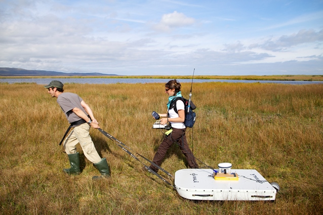 |
Ground-Penetrating Radar (GPR): we have both a GSSI SIR-4000 with a 200 MHz hyperstacking antenna and a standard 400 MHz antenna, and a MALÅ Geosciences X3M GPR with 100, 250, 500, and 900 MHz antennas. Together, these are capable of collecting continuous, high-resolution subsurface surveys ranging from cm-scale resolution in the upper 1-2 m, to dm-scale resolution nearly 20 m below the ground surface. A suite of software is available in the Coastal Geology Data Processing Lab for the processing and analysis of these data. |
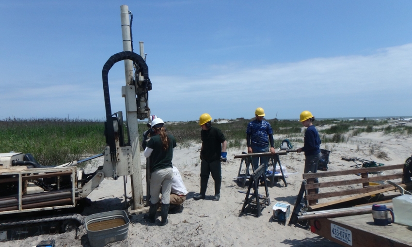 |
Direct-Push Drill Rig: this Geoprobe 66DT Technical Drilling Machine is built like a tank but serves a much more benign purpose – it uses percussion and hydraulics to collect up to 20 m of continuous sediment cores. Ideal for coring through coastal barriers and beaches, we regularly collect cores up to 100' (nearly 30 m) deep on the barrier islands and coastal mainlands throughout the US East Coast. |
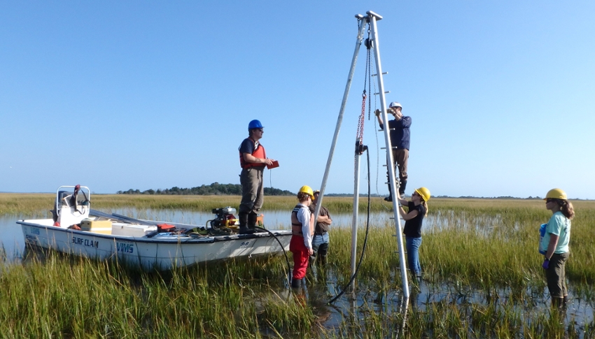 |
Vibracoring Rig: just your standard, run-of-the-mill coastal geology vibracore rig, designed and regularly used to collect cores up to 30' (>9 m) in length. Ideal for fine sediments (estuaries; backbarrier lagoons and marshes) but also proven quite capable in sandier environments. |
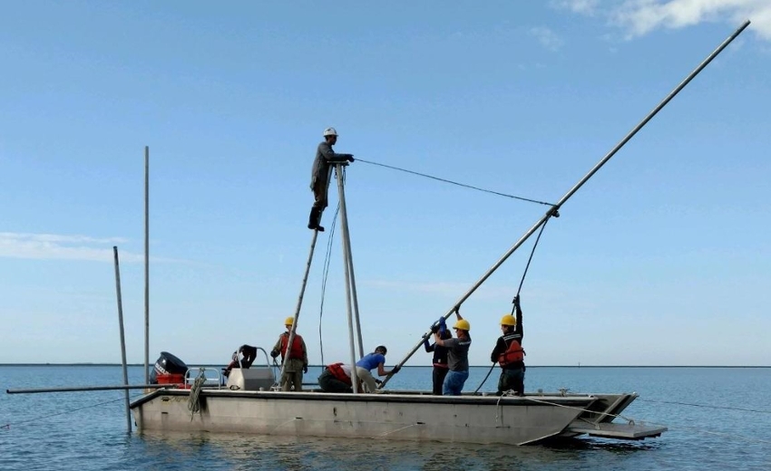 |
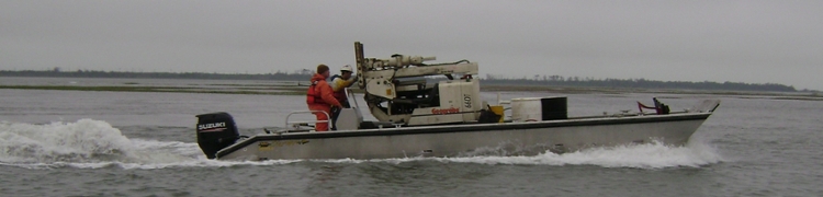
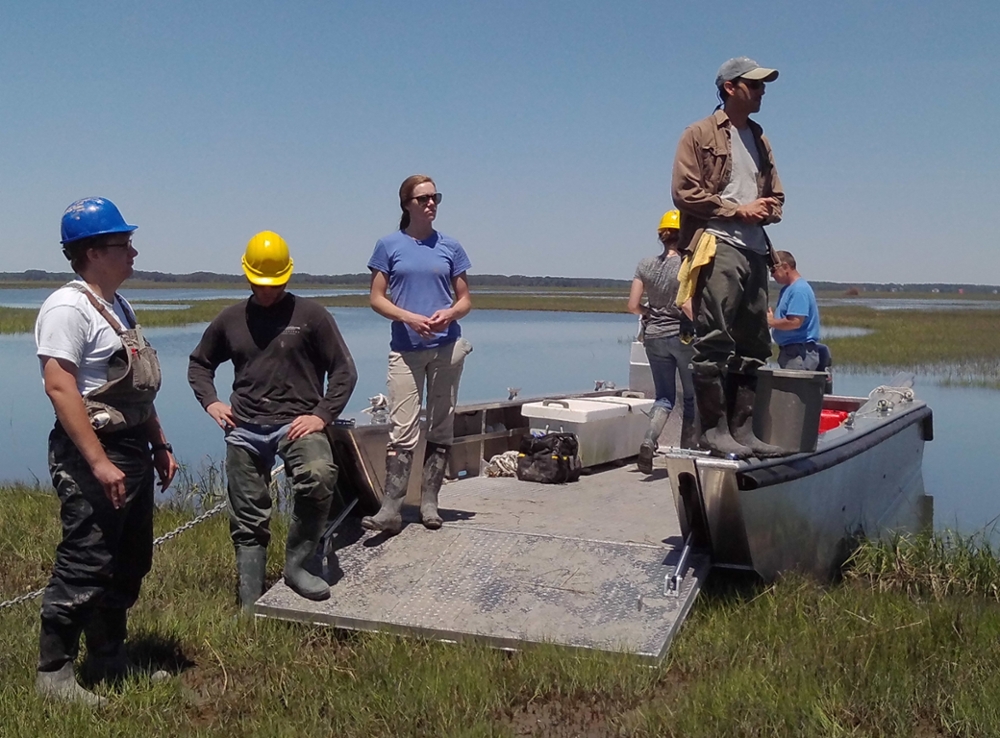
R/V Peregrination: A 30'-long landing craft / coring platform is housed and operated out of the VIMS Eastern Shore Lab. This specially-designed vessel is equipped with a moon hole for collecting through-hull vibracores in water depths of up to 3 m, and is capable of transporting our Geoprobe to remote coring sites, such as along the Virginia Barrier Islands. |
 |
|
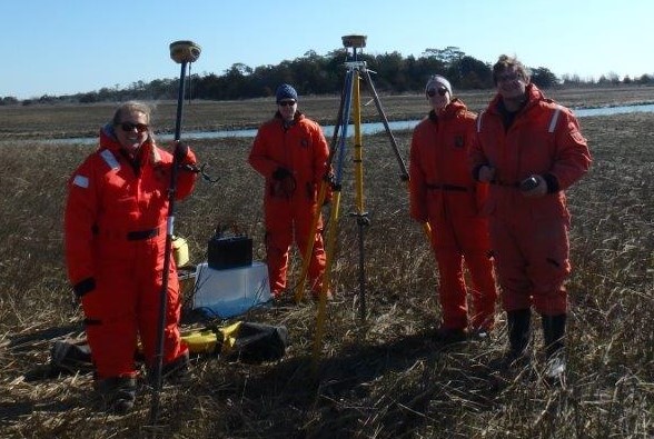 |
Miscellaneous Field Equipment: In addition to our major coring equipment, we also have a series of hand augers, including a hand-operated Geoprobe slide hammer, a Russian peat corer, a complete Eijkelkamp auger set, and a pulse auger (10 m maximum depth). We also have a Topcon HiPer V RTK-GPS and a suite of handheld cameras, GPS units, and loads of muddy field clothes. |
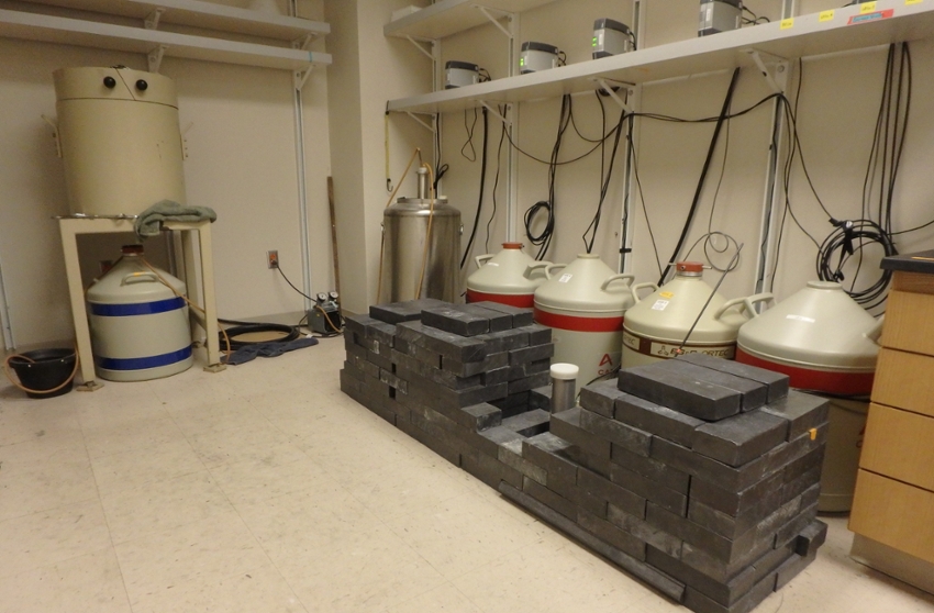 |
Geochronology Lab: This lab is run by Coastal Geo Lab Specialist Jennifer Connell and shared with Drs Steve Kuehl and Matt Kirwan. It is operated as an internal/external cost center analysis lab for analyzing short-lived radioisotopes (primarily 210Pb and 137Cs). It houses four Low Energy Germanium Detectors (LEGEs), one Broad Energy Germanium Detector (BEGE), one Well-shaped intrinsic Germanium Detector (WEGE), and an octet containing eight alpha detectors. |
| Sedimentology Lab: This lab comes complete with a full suite of tools for analysis of sediment texture, mineralogy, and organic-matter content. In addition to standard sedimentology lab equipment (muffle furnances, microscopes), this lab also contains a digital X- radiographic panel, a Beckman-Coulter Laser Diffraction Particle Size Analyzer (for fine sand and mud), and a Microtrac CamSizer X2 (for sand and gravel). | |
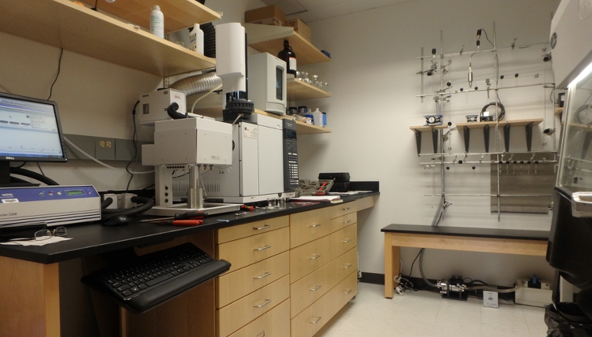 |
Compound-Specific Radiocarbon Prep Lab: Our own little space in Chesapeake Bay Hall, this lab serves in the isolation, purification and combustion of individual organic compounds for compound-specific radiocarbon analysis. The space houses a GERSTEL Gas Chromatograph with a Preparative Fraction Collector (a “Prep GC”), dedicated low-blank vacuum line, and a laminar-flow hood. Although not the type of lab typically affiliated with coastal sedimentologists, this lab is one of a small handful in academic settings in the world and allows us to apply the cutting-edge tools of compound-specific organic geochemistry to understand the linkages between climate and coastal change. |
 |
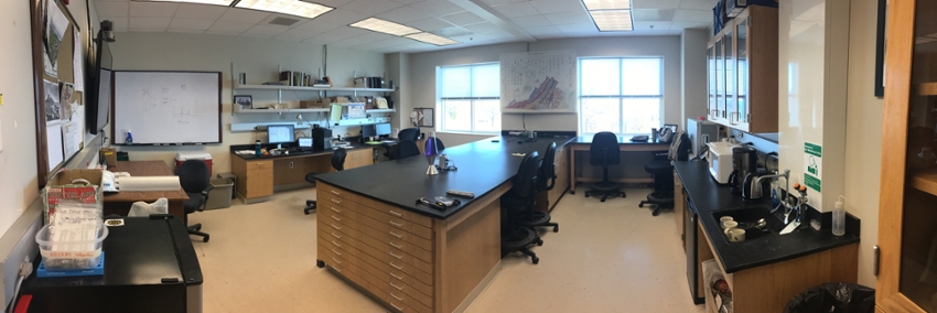
Coastal Geology Data Processing Lab: Although our real lab is the field (see left), our climate-controlled home is the Coastal Geology Lab. Designed as the primary workspace of the group, this lab houses most field equipment, several workstations for the processing of GIS and GPR data, maps, and meeting space. |
 |
|